How to Explore the Proposed Fire and Ice Geopark Near Vancouver
Did you know you can visit volcanoes, glacial lakes, and tons of other unique geologic features near Vancouver? Here’s how to explore the proposed UNESCO Fire and Ice Geopark.
What is the Fire and Ice Geopark?
The United Nations recognizes distinct areas around the world with international geological significance as United Nations Educational, Scientific, and Cultural Organization (UNESCO) Geoparks.
A Whistler-based non-profit is advocating for the creation of the Fire and Ice Geopark. It will contain geological sites stretching from Porteau Cove near West Vancouver to Mount Meager northwest of Pemberton.
Many of the sites are easily accessible in the Sea to Sky corridor. Here are a few you won’t want to miss.
Stawamus Chief
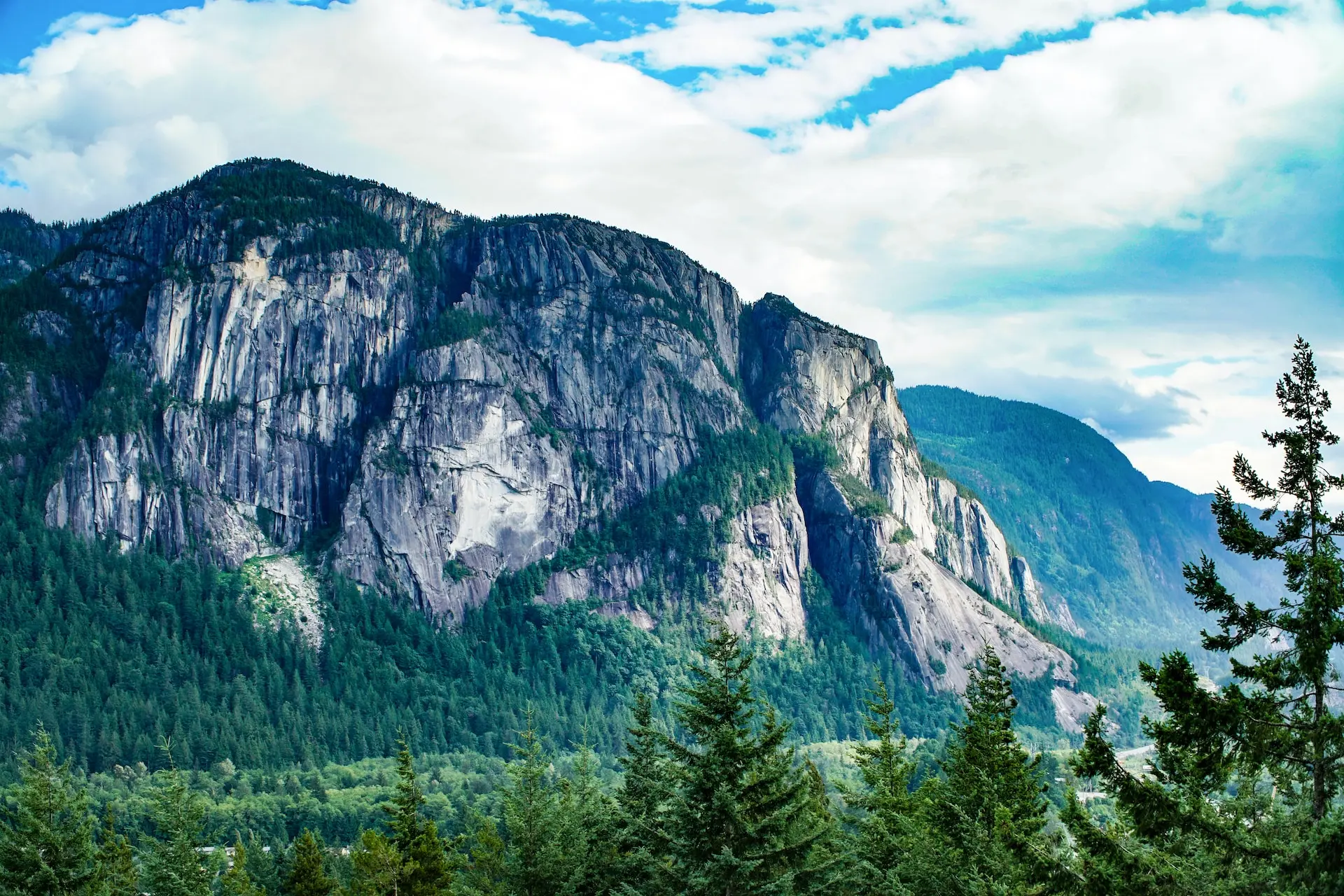
Known as Siám’ Smánit in the Squamish language, the Stawamus Chief is the second-largest granitic monolith in North America. Formed by the cooling of an ancient magma chamber, the sheer face of the peak towers over the town of Squamish.
You can view it from roadside pull-offs or hike a challenging trail up the back to reach the peak. It also has world-famous rock climbing routes.
Mount Garibaldi
At 2,678 metres tall, Mount Garibaldi is one of the highest peaks in the Sea to Sky region and the largest volcano in southern British Columbia. Its Squamish language name is Nch’Kay, meaning “grimy one”, a reference to the volcanic rock and dust that flows down its flanks during snowmelt and rainstorms.
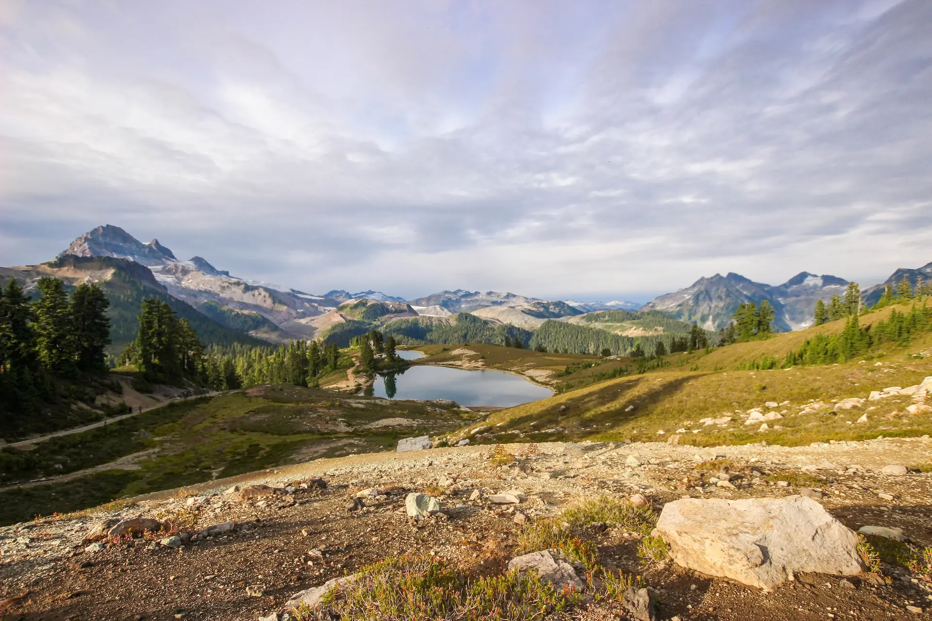
You can get a good view of the peak from downtown Squamish. To see it up close, book a flightseeing tour or hike the Elfin Lakes Trail in Garibaldi Provincial Park.
Black Tusk
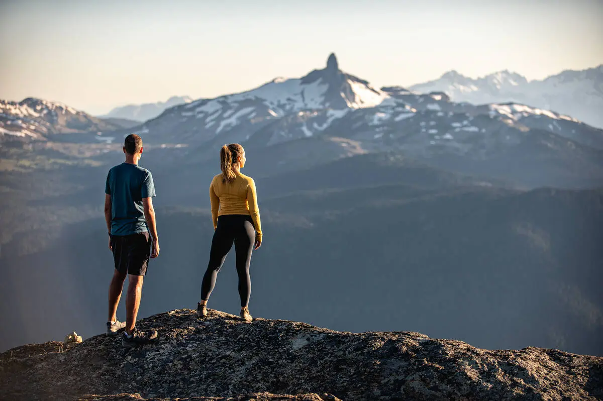
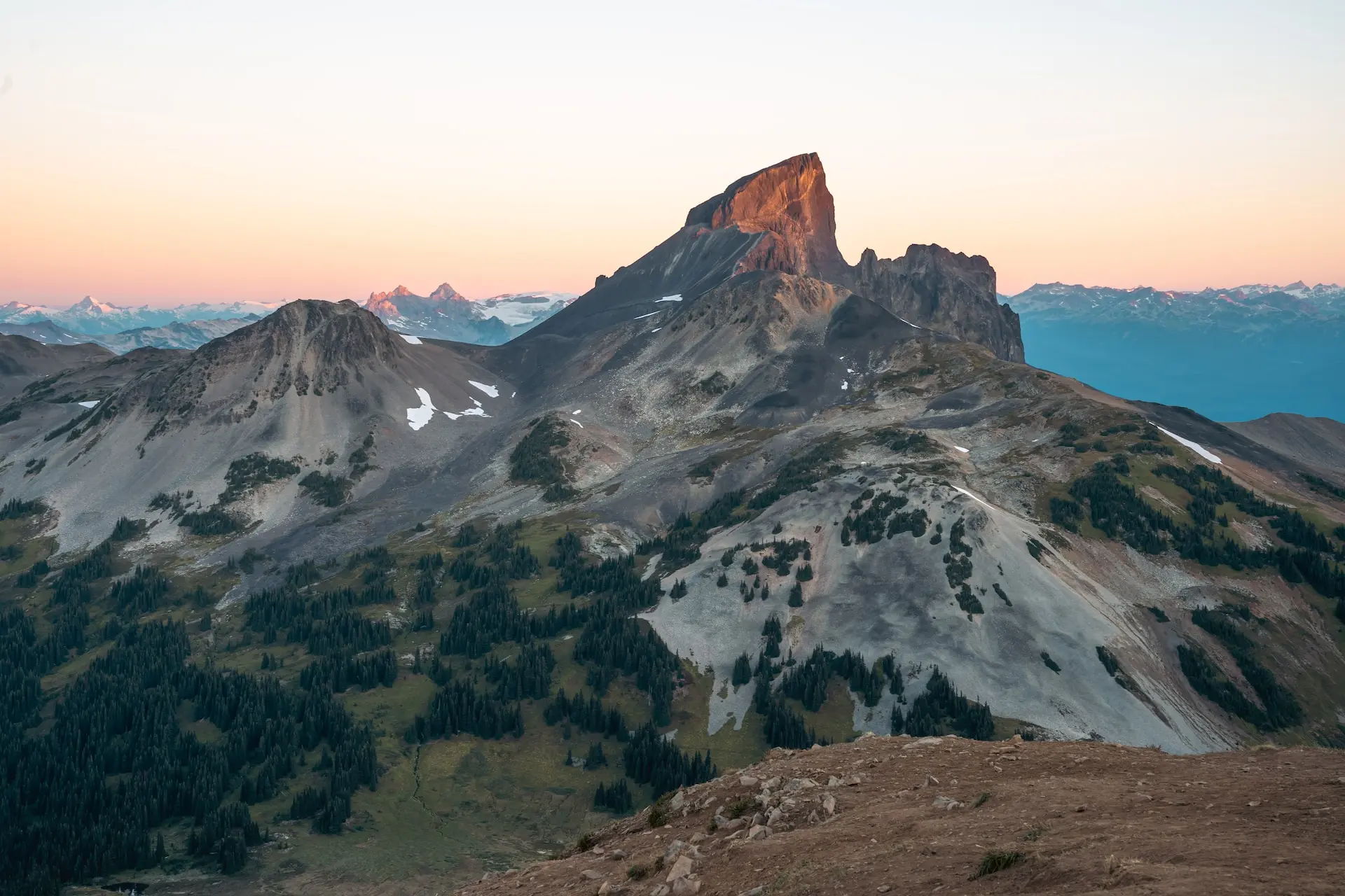
The distinct tooth-like peak of Black Tusk is visible throughout the Sea to Sky corridor. In the Squamish language, it is called t’ak’t’ak mu’yin tl’a in7in’a’xe7en (Landing Place of the Thunderbird) and in the L’íl’wat language it is Q’elqámtensa ti Skenknápa (Place where the Thunder Rests). This unique rock formed when lava erupted underneath a glacier during the Pleistocene age.
The best views of Black Tusk are from Whistler Peak, easy to reach by chairlift in both winter and summer. Hikers can also trek to its base from the Garibaldi Lake Trail. Reaching the summit is best left for rock climbers.
Fitzsimmons Creek
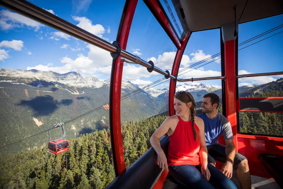
The glacial waters of Fitzsimmons Creek flow down the valley between Whistler and Blackcomb Mountains. The valley is actually a geologic fault between two types of rocks, making it an easy path for water.
To get a bird’s-eye view of the creek and geological fault, ride the Peak 2 Peak Gondola. To see it up close, head to the picturesque covered bridge in Ross Rebagliati Park next to Whistler Village.
Lost Lake
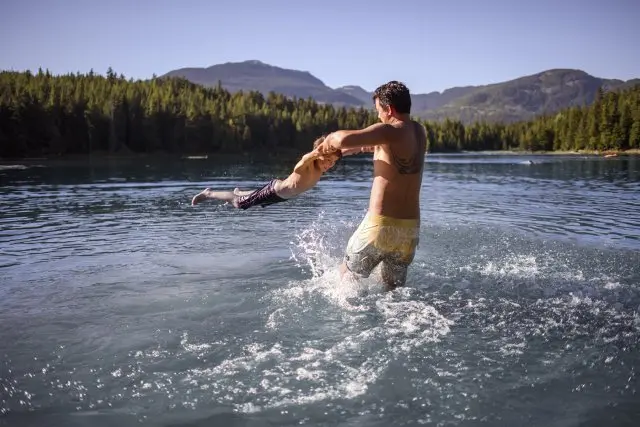
This small lake is just a few minutes from Whistler Village, making it a popular spot for cross-country skiing, hiking, biking, and swimming. During the last glacial period, a huge block of ice was left behind as the ice sheets retreated. As it melted, it created a huge circular depression filled with water – today’s Lost Lake.
In the summer, walk or bike along the Valley Trail to reach the trails and beaches of Lost Lake. You can also take a shuttle bus from Whistler Village. In the winter, the park’s trails transform into a network of cross-country ski trails.
Even More Geo Sites
For info on even more geo sites in the Sea to Sky region, visit the Fire and Ice Geopark website or download their app. It includes info about how the geo sites were formed as well as how to visit them.
Into
scenic
spots?
Get
ideas.