10 Vancouver Hikes with A View
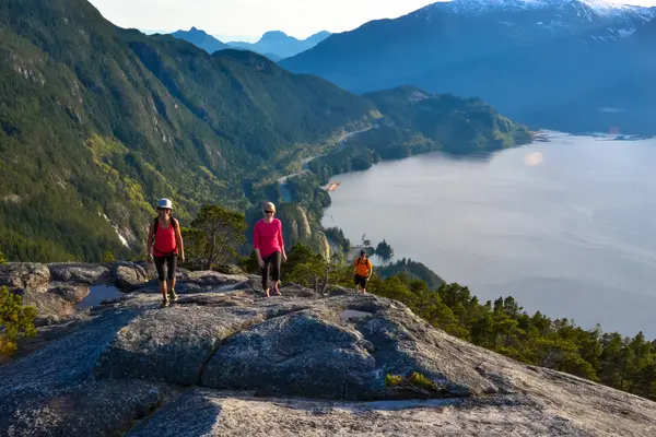
Tucked between the Pacific Ocean and the Coast Mountains, Vancouver is spoiled for spectacular scenery. One of the best ways to take in these views is to go hiking in Vancouver. We've gathered a list of ten of the best Vancouver hikes with a view of the city, ocean, and/or mountains to help you plan out activities to do in the city.
Safety First
Vancouver’s proximity to nature makes it easy to hit the trails, but even nearby hikes require proper preparation and attention to safety. Many Vancouver hikes can be snowy and dangerous in spring and winter, or have other hazards the rest of the year. North Shore Rescue recommends bringing a backpack with essential safety and first aid gear on every hike. Check the forecast, pack extra clothing for the weather, and leave a trip plan with a friend so someone knows where you are going and when you plan to be back.
Lighthouse Park
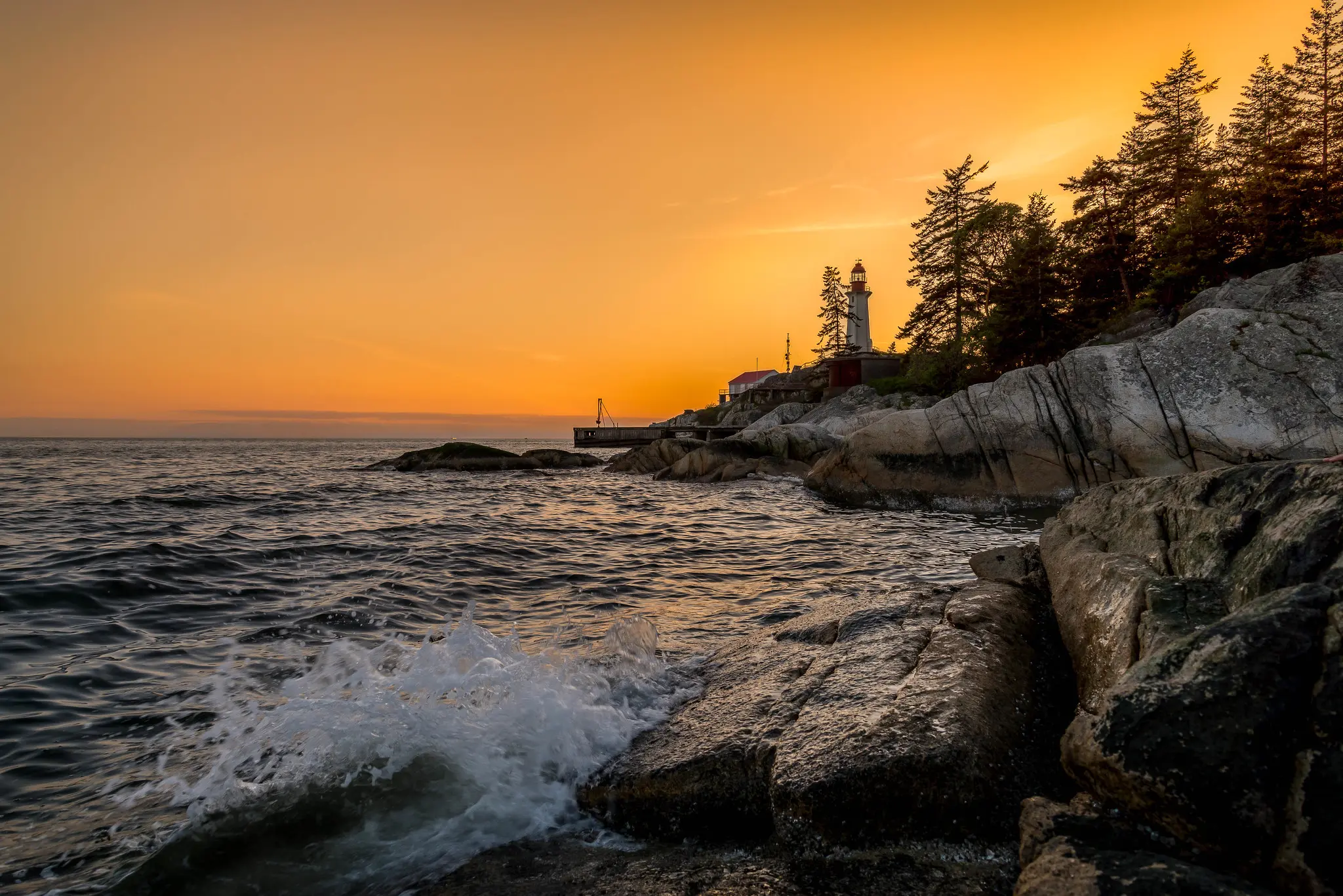
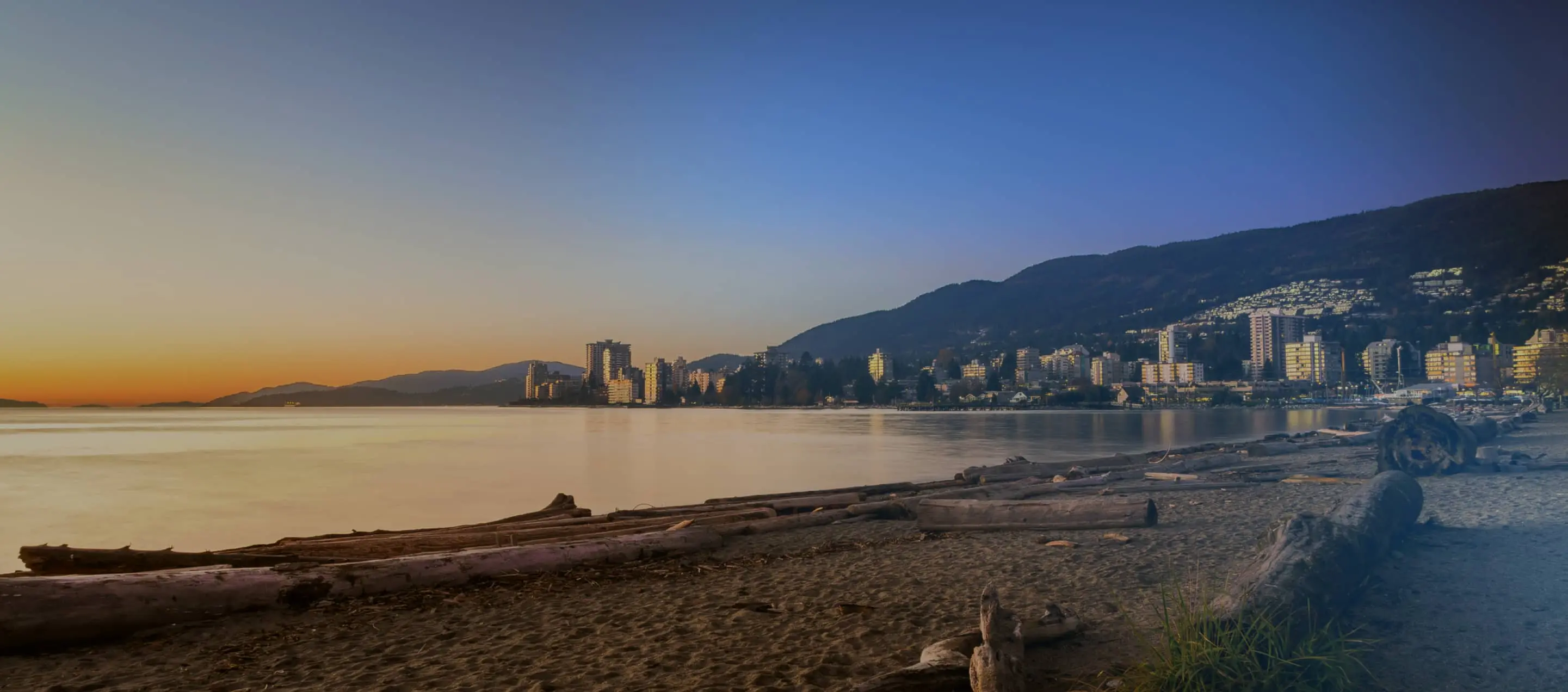
Lighthouse Park is nestled on the shores of Burrard Inlet in West Vancouver. There are lots of trails in the park, so you can make your hike as short or long as you wish. For the best views of downtown Vancouver, head to East Beach. Hike out to Juniper Point for views of Howe Sound and Bowen Island. Plan your route with the help of the Lighthouse Park trail map.
Trail Stats: Easy / 1.5-10 km loop / minimal elevation gain / 1-4 hours
Dog Mountain
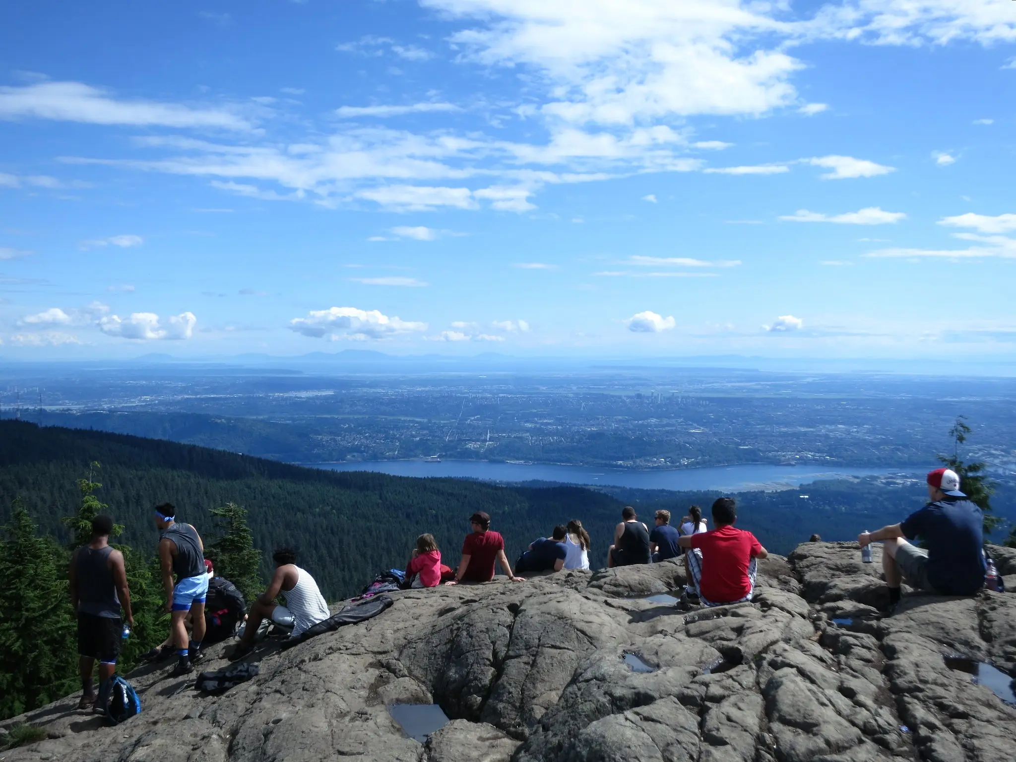
This Mount Seymour area hike heads to a spectacular viewpoint on a rocky bluff. Along the way, you’ll pass by a small alpine lake. The Dog Mountain trail is fairly flat, but there are a couple of short hills to challenge you. Wear hiking boots for the rocks, roots, and mud. In the winter, it's a popular spot for snowshoeing if you're up for a little extra challenge.
Trail Stats: Moderate / 5 km round trip / 168 m elevation gain / 2 hours
Bowen Lookout
The hike to Bowen Lookout starts out in the flat wetlands near the Cypress Mountain ski lodge. But the second half of the trail heads steeply uphill to the viewpoint. Have a snack and soak up the views of Bowen Island and Howe Sound. It’s also a great place to catch the sunset… just make sure you have a flashlight for the walk down!
Trail Stats: Easy / 4.8 km round trip / 148 m elevation gain / 1.5 hours
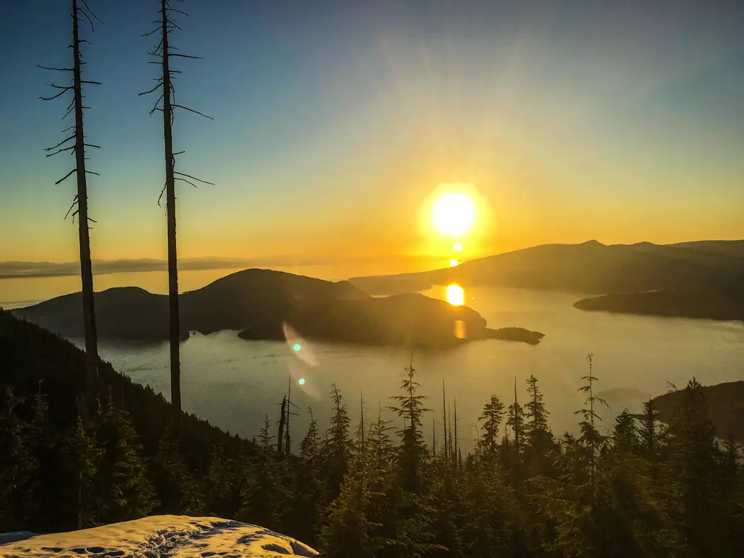
Eagle Bluffs
From Eagle Bluffs, you’ll get a panoramic view of Vancouver and the eastern suburbs. On a clear day, you can even see the peaks of Vancouver Island. The trail starts near the Cypress Mountain ski lodge and climbs steeply up to a plateau near the summit of Black Mountain. You’ll descend past some small lakes and then emerge on the granite of Eagle Bluffs.
Trail Stats: Moderate / 8.4 km round trip / 439 m elevation gain / 3.5 hours
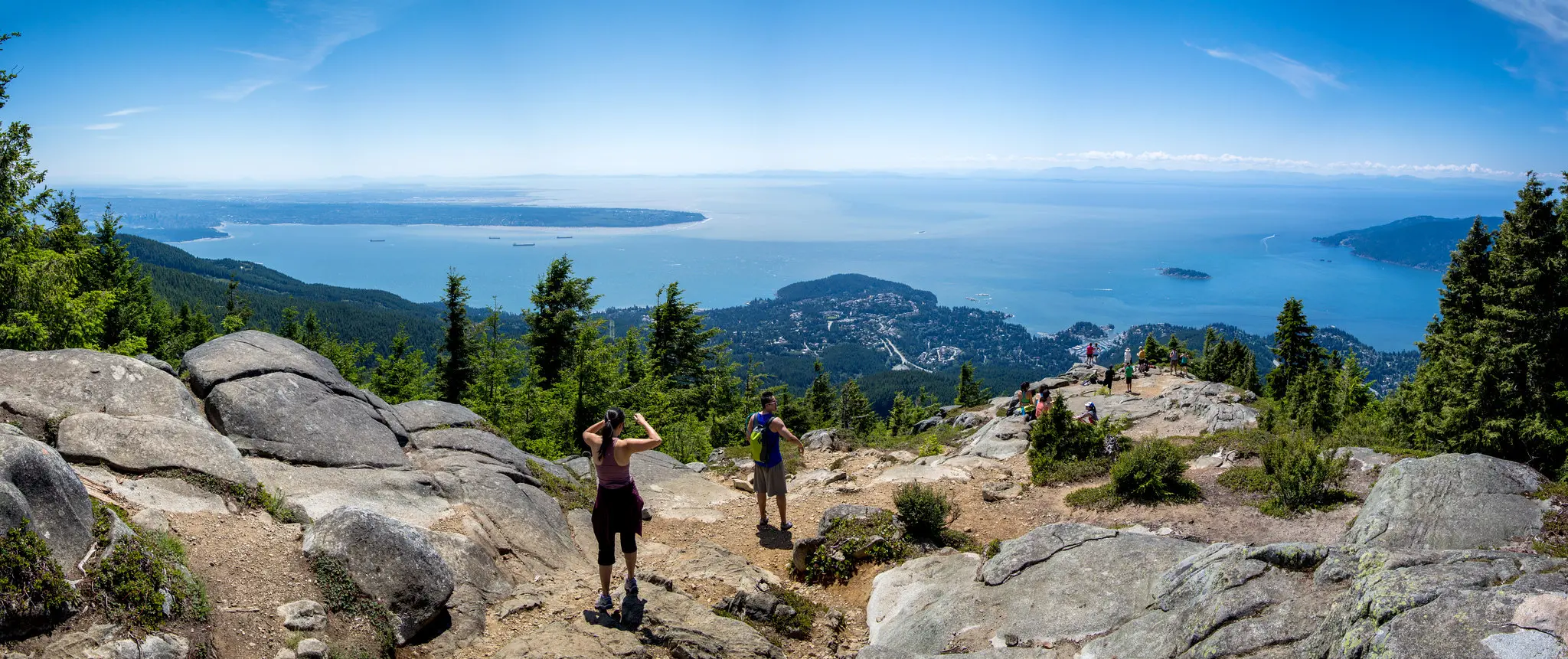
St. Mark’s Summit
St. Mark’s Summit is just a bump on the long ridgeline stretching above Howe Sound. But what a view! The granite outcroppings and sheer cliffs seem to dangle right over the ocean. (Be careful near the edge.) The trail starts near Cypress Mountain ski lodge and climbs steadily through the forest before reaching the top.
Trail Stats: Moderate / 10.3 km round trip / 568 m elevation gain / 4.5 hours
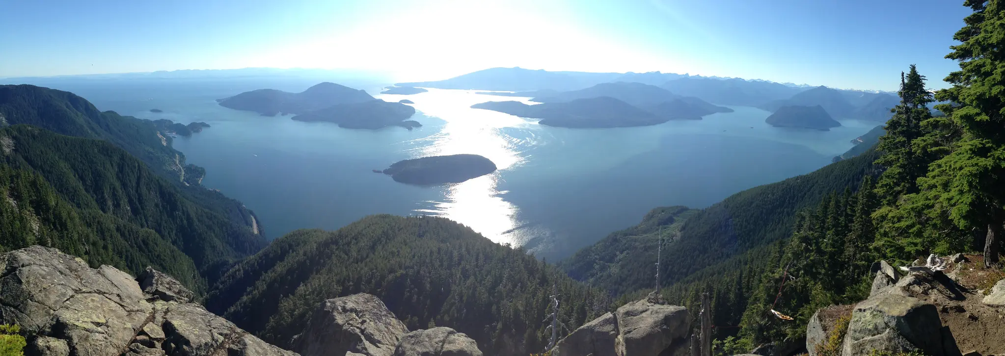
Mount Seymour Trail
Did you know Mount Seymour actually has three summits? They all have great views of Vancouver to the south and the Coast Mountains to the north. The trail is rugged with some steep climbs near the end, so wear good hiking boots.
Trail Stats: Hard / 8 km round trip / 578 m elevation gain / 5 hours
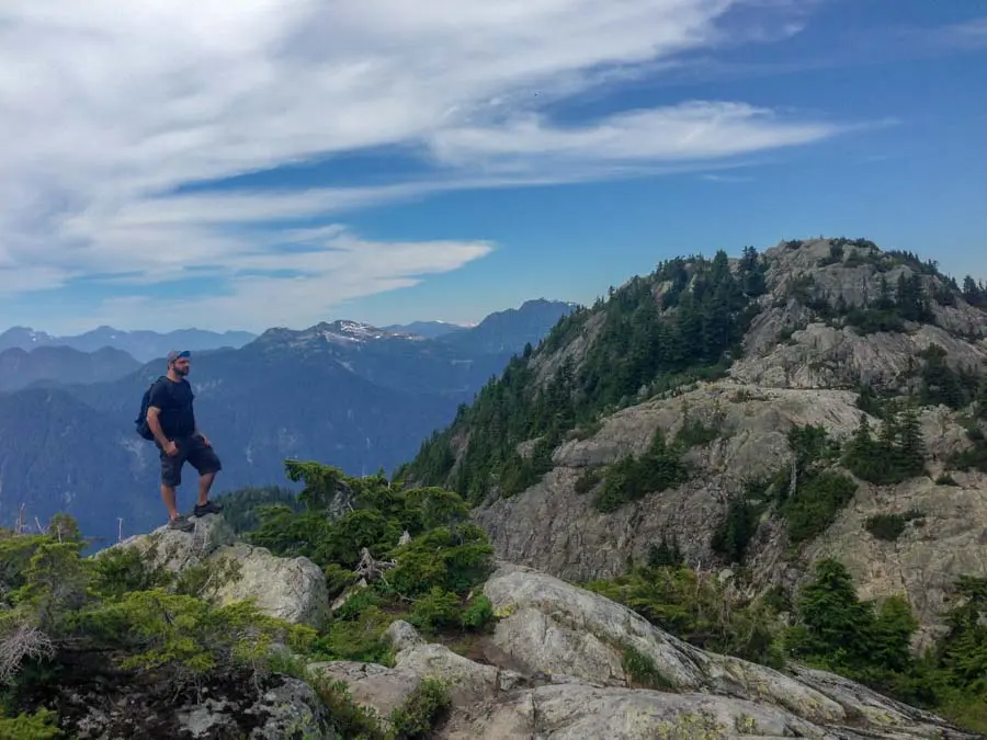
Stawamus Chief
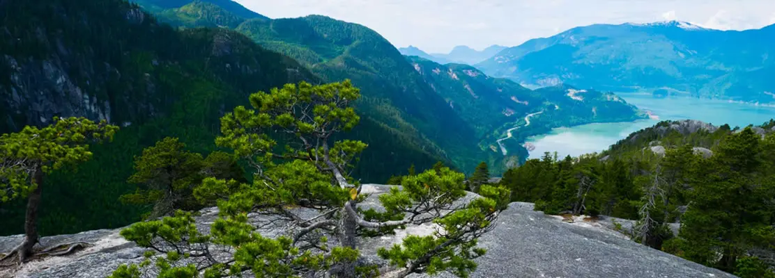
Stawamus Chief First, Second, and Third Peak Loop in Squamish will definitely challenge you. There are tons of stairs (even more than the Grouse Grind!), ladders, and chains to climb. Once you get to the top, you can creep over to the edge and peer straight down the sheer rock face. You can climb all three peaks or just head to the first one.
Trail Stats: Challenging / 6.8 km round trip / 772 m elevation gain / 6 hours
Diez Vistas
In Spanish, the name of this trail is “ten views”. The Diez Vistas loop hike starts at Buntzen Lake and climbs up a ridge separating the lake from Indian Arm. Once on the ridge, you’ll pass by a series of viewpoints down to the water and Vancouver in the distance. The loop finishes by descending back to Buntzen Lake, then travelling along the lakeshore.
Trail Stats: Challenging / 13.4 km loop / 648 m elevation gain / 6 hours

Elk Mountain
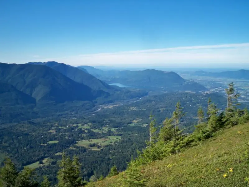
Head out to Chilliwack for a spectacular hike on Elk Mountain. The long summit ridge is at its peak when covered in wildflowers in early summer. Look west for views of the Fraser Valley and south at the gorgeous peaks of Washington’s North Cascades National Park.
Trail Stats: Challenging / 8.5 km round trip / 792 m elevation gain / 5 hours
Garibaldi Lake
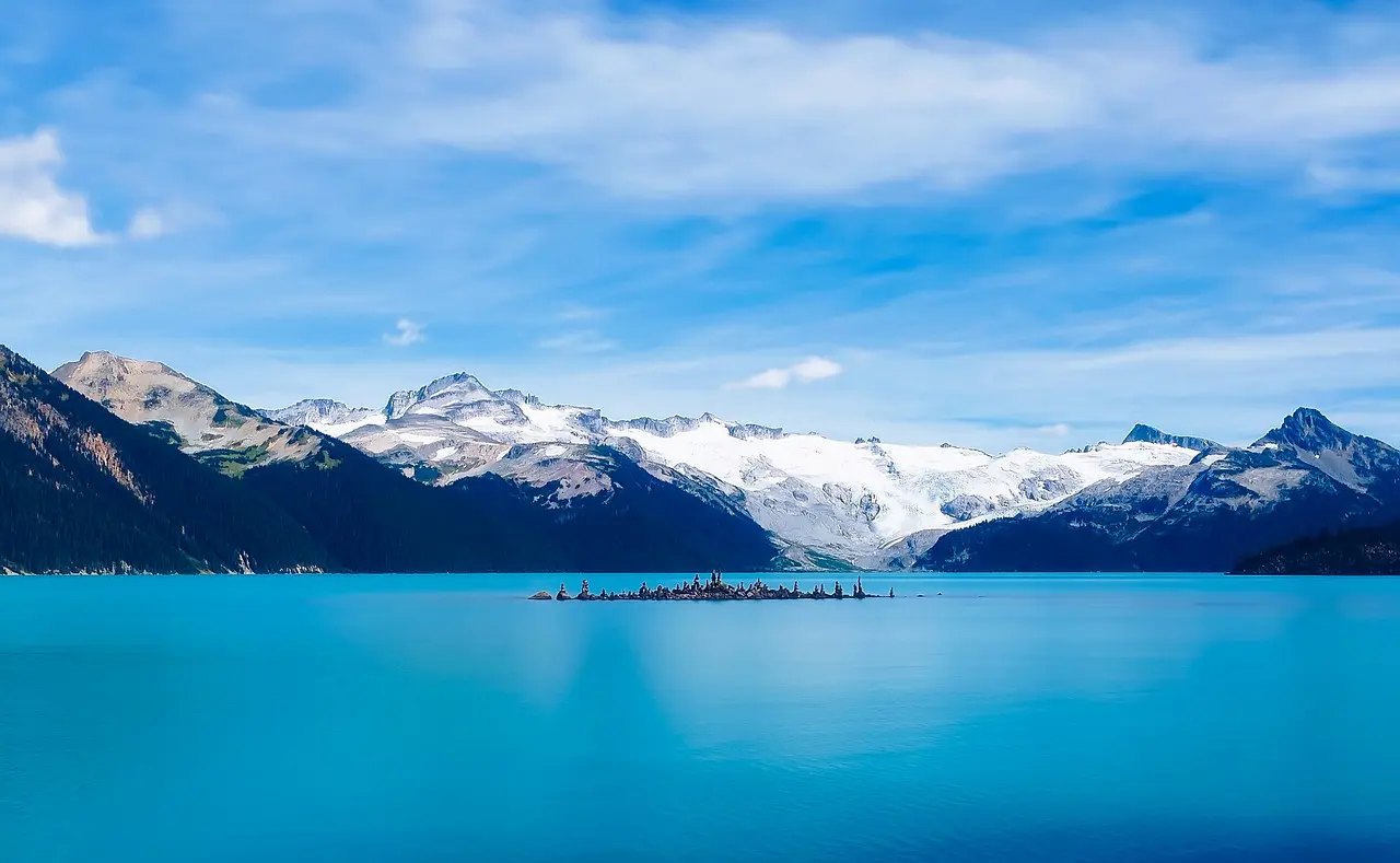
The Garibaldi Lake trail is a British Columbia classic. The trail starts in the forest between Squamish and Whistler and ascends steadily for several kilometres before flattening out at two small lakes. As you continue onward, you'll reach the jewel of this gorgeous hike, beautiful Garibaldi Lake. It’s a huge alpine lake ringed with snow-capped mountains.
Trail Stats: Challenging / 19.2 km round trip / 981 m elevation gain / 7.5 hours
Vancouver Hikes With a View
With trails ranging from gentle strolls to challenging alpine climbs, Vancouver makes it easy to get outdoors and experience the region’s incredible scenery. Choose a hike that suits your ability, get prepared, and take your time soaking up the views. No matter which trail you tackle, a memorable adventure is never far from the city.
Into
scenic
spots?
Get
ideas.