City skyline with tall buildings and a beach with people along the waterfront under a clear blue sky.

West End, Vancouver

Where city, ocean
and forest meet

A cityscape harmonizing with nature

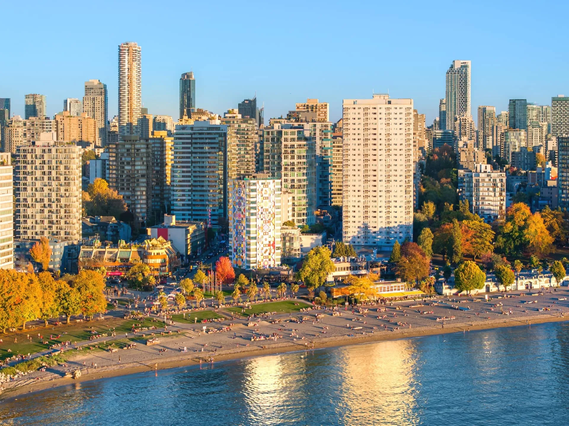
The West End is one of the oldest residential neighbourhoods in Vancouver — and, as the gateway to Stanley Park, for good reason. Locals and visitors alike can easily transition from the ocean, beaches, and forest to the city within blocks.

Two people wearing helmets riding bicycles on a colorful street near the beach with palm trees and ocean in the background.
Various green leaves including a fern leaf on a green background.

400+

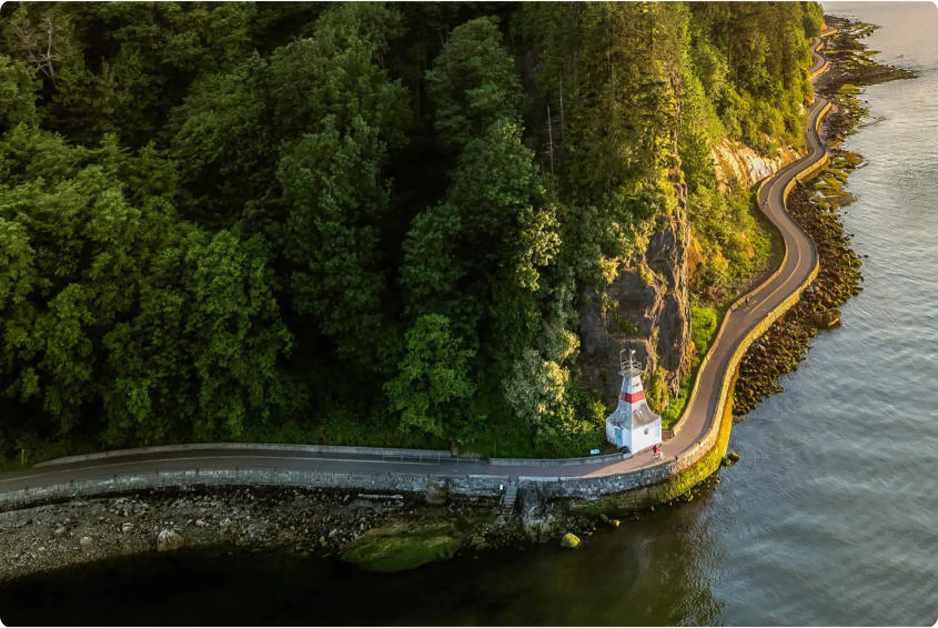
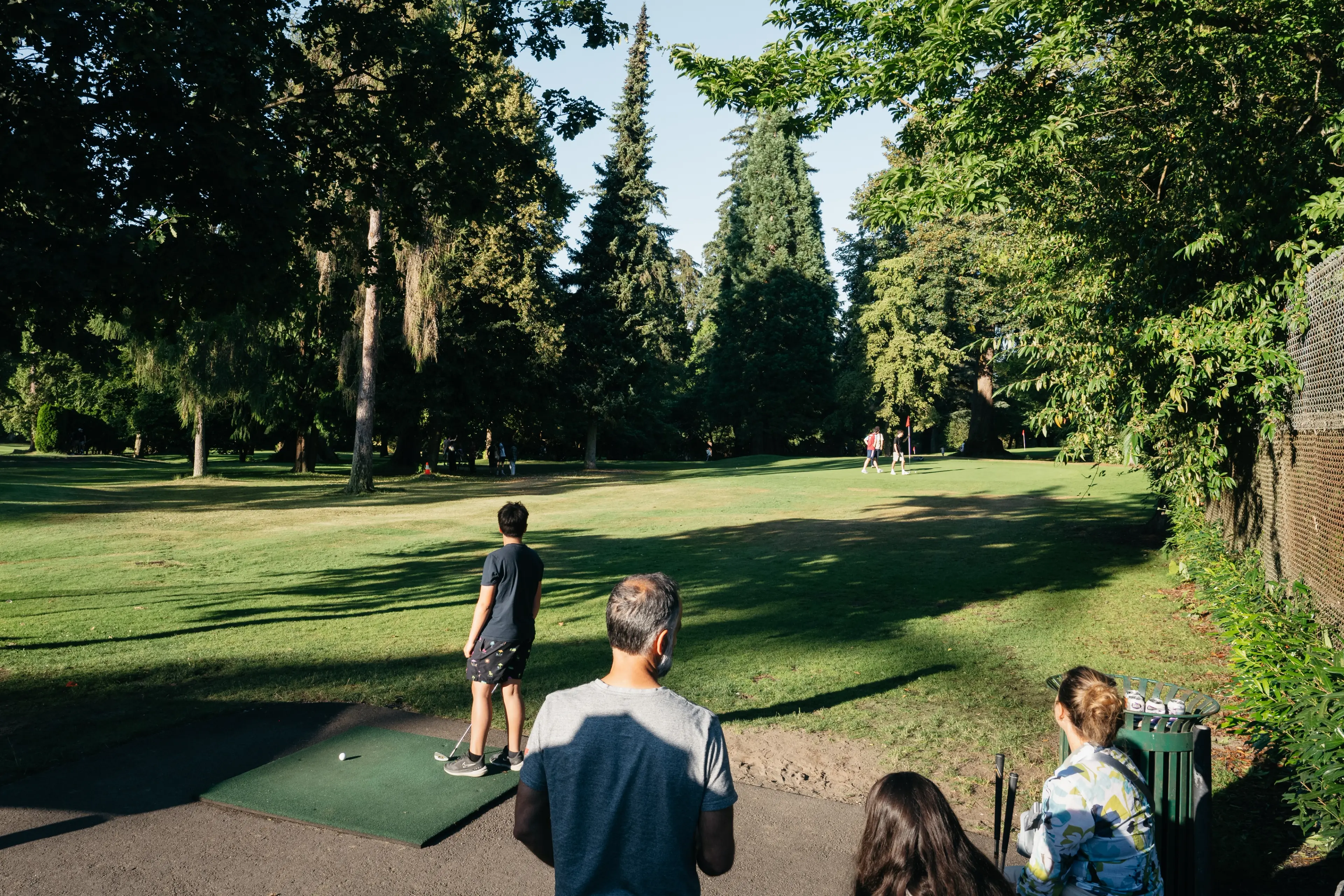
hectares (1,000+ acres) of old growth forest, walking trails, and coastline in Stanley Park. 

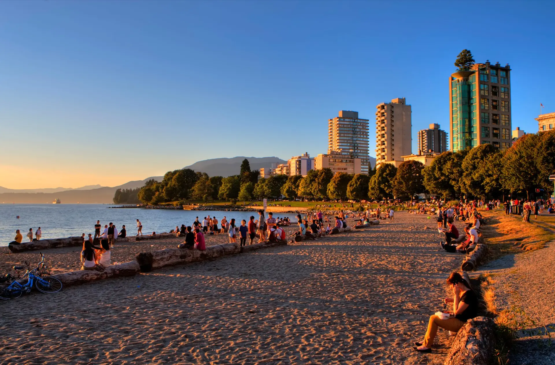
Within the West End, you will find the iconic Stanley Park, English Bay, and the hub of the city’s LGBTQ+ community — the vibrant Davie Village.

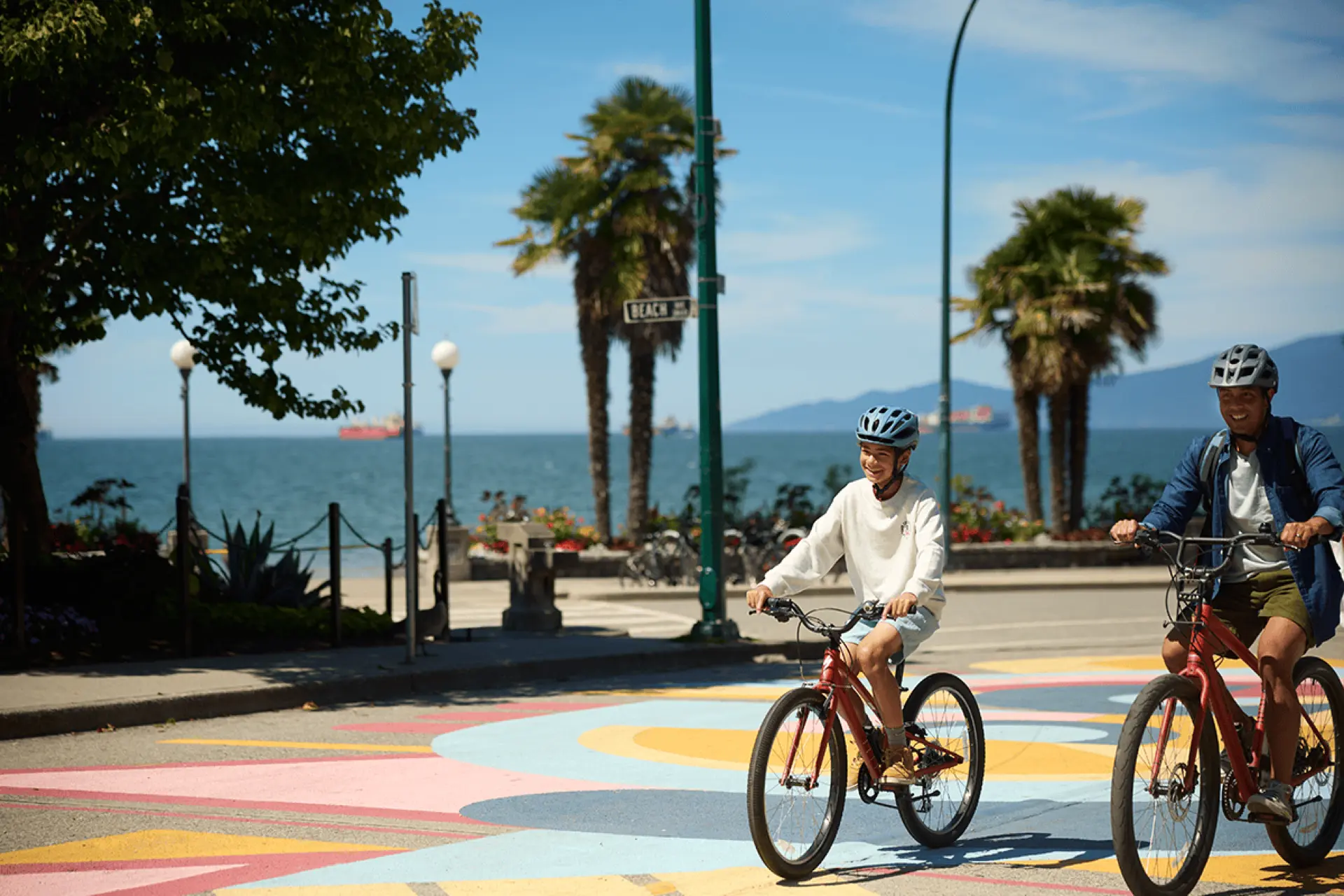
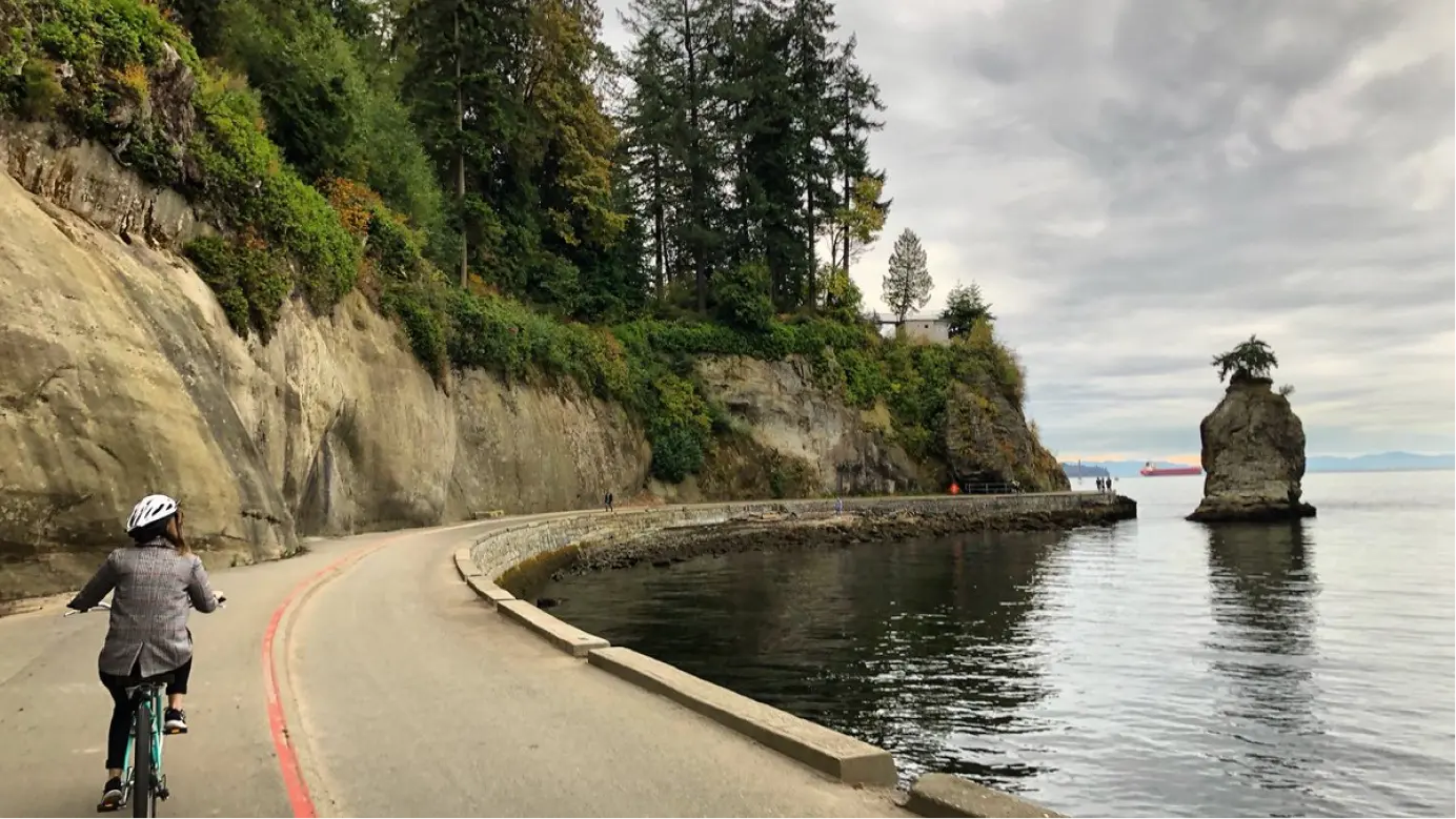
Stanley Park is wrapped by the world’s longest waterfront path, the Vancouver Seawall

Curving coastal road along a forested cliff with a small white lighthouse near the water's edge.
Person wearing a helmet and backpack riding a bicycle on a leaf-covered street lined with parked cars and trees with autumn foliage.
People walking and sitting at an outdoor market with food stalls and umbrellas on a sunny day in a city park.
People sitting and walking along a sandy beach at sunset with city buildings and trees in the background.

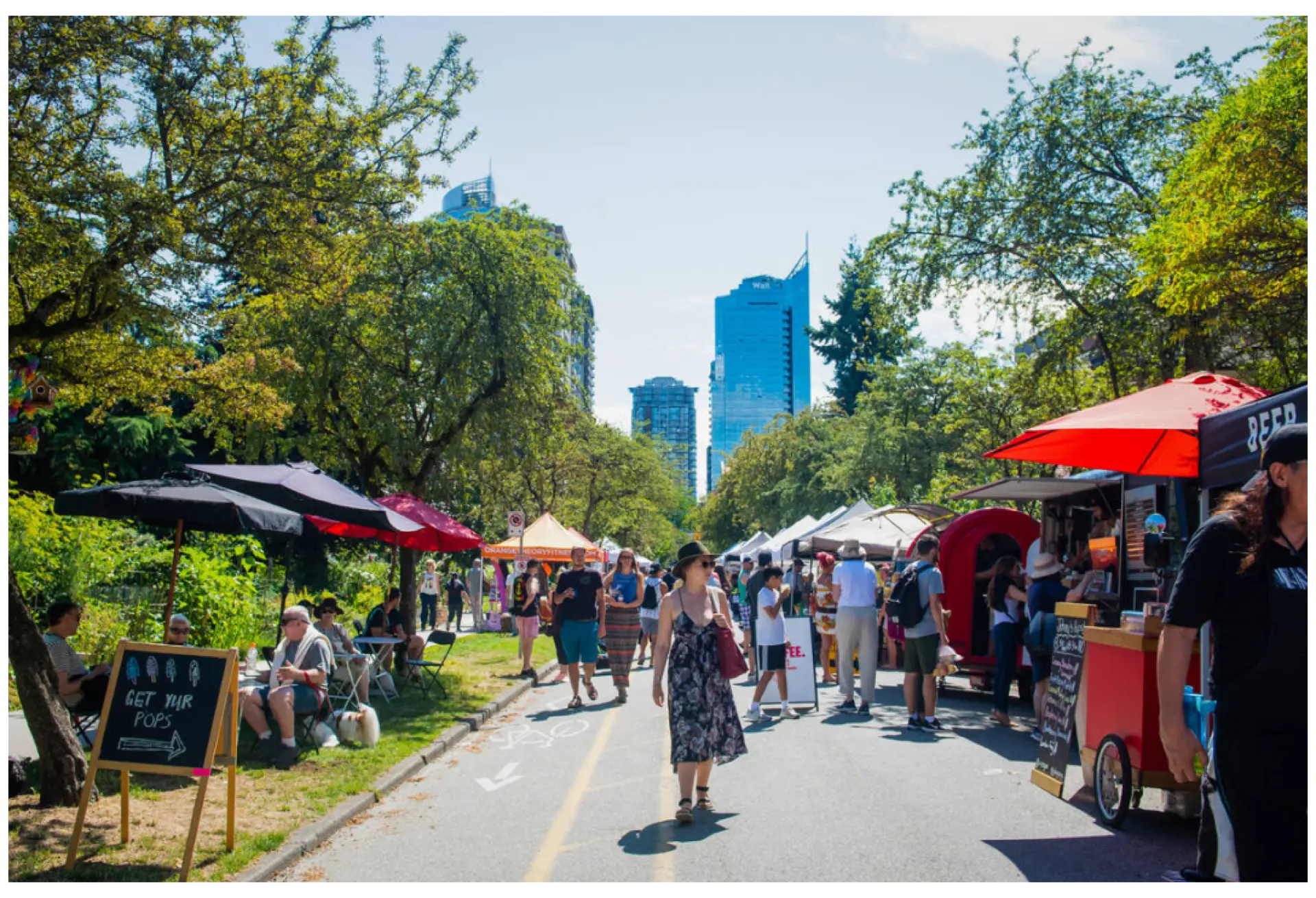
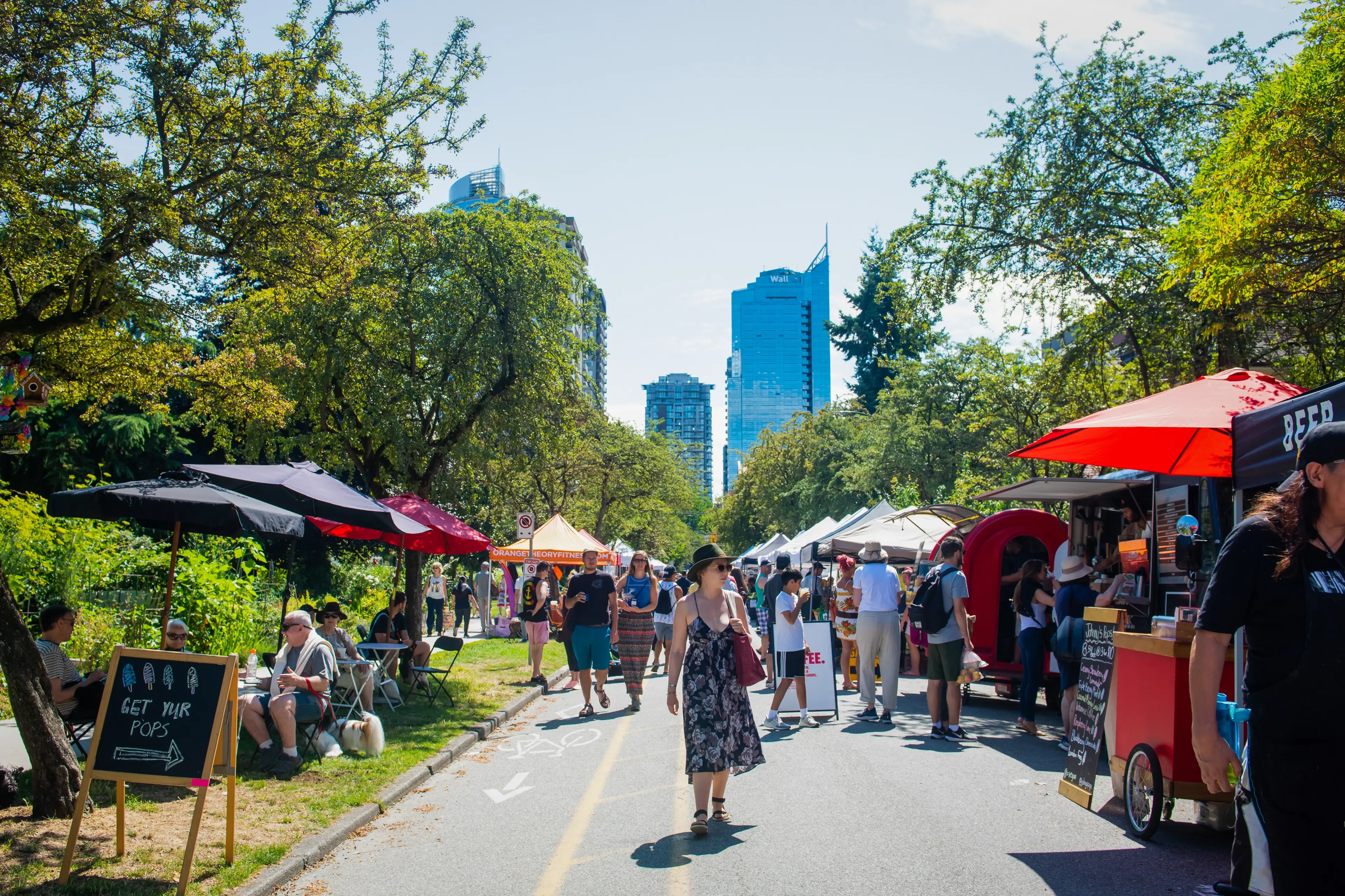
The West End offers a diverse and eclectic scene.
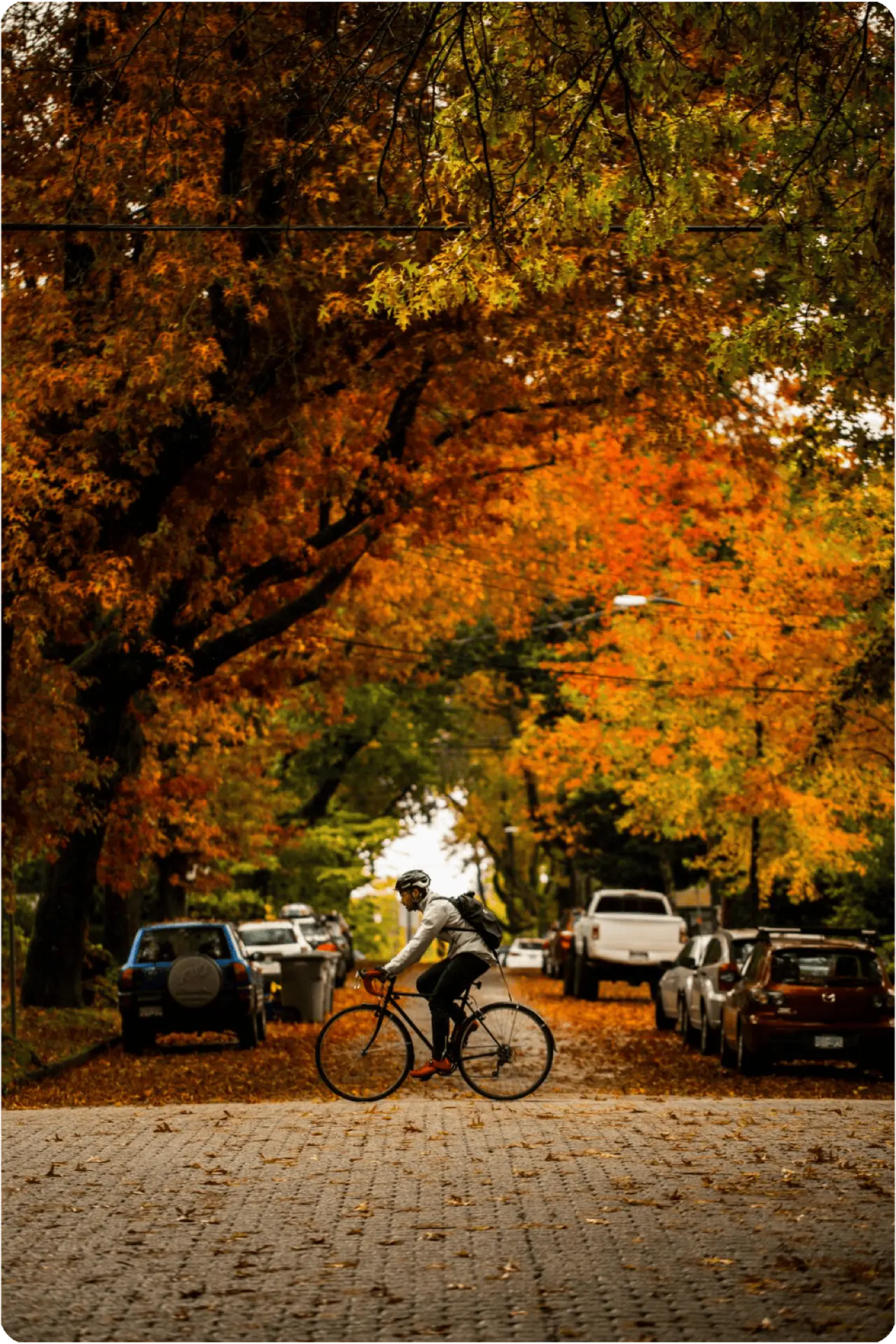
It’s bookended by the coastline and the downtown core, providing easy access to urban beaches, sprawling green spaces, and metropolitan amenities. Streets are tree-lined, highrises and heritage homes are neighbours, and public art
and parks abound.

This is
West End

Person wearing a helmet riding a bicycle on a curved path along a rocky shoreline with trees and a small rock island in the water.

ACTIVITY | FOOD & DRINK

Cycle Stanley Park’s seawall

Ask

me

about

our

hidden

gems

Explore more of West End

Go where

you’re called

Walk score

Daily excursions do not require a car
  • 5 min to Robson Street

  • 19 min to Coal Harbour

  • 25 min to Granville Street

Bike score

Biking is convenient for most trips
  • See Vancouver Cycling Map

Driving

  • 2 min to Robson Street

  • 5 min to Coal Harbour

  • 25 min to Granville Street

Transit score

Many nearby public transportation options
  • See Translink Skytrain

  • See Translink Bus

  • 3 min to Robson Street