April 2022 Vancouver Hike of the Month: Reifel Bird Sanctuary

The George C. Reifel Migratory Bird Sanctuary is a great spot for a spring hike as ducks, geese, songbirds, and shorebirds stop by on migrations or settle in for nesting season. Use our trail guide to follow a 4.5-kilometre loop that hits all the major bird viewing sites.
Trail Info: Easy; 4.5 km loop; 2 hours; no elevation gain; no dogs
Safety First: AdventureSmart recommends bringing a backpack with essential safety and first aid gear on every hike. Check the forecast and pack extra clothing for the weather. Leave a trip plan so someone knows where you are going and when you will be back.
Getting There: From Vancouver, take Highway 99 south through Richmond to Delta. Use exit 28 to go west Ladner Trunk Road. As you pass through Ladner, the road becomes 47A Avenue and then River Road West. Turn right onto Westham Island Road and cross the single-lane bridge onto Westham Island. Stay on Westham Island Road as it crosses the island and becomes Robertson Road. Follow signs at the end of Robertson to go left and enter the sanctuary. There are washrooms to the right of the entrance gate.
Booking Your Visit: To avoid overcrowding, the sanctuary uses a free online booking system for parking. You can book a morning or afternoon visit up to three days in advance. You must book in advance.
Admission: Admission is $5 for adults, $3 for seniors, and $3 for children (ages 2-14) and is payable at the gate.
What to See: Many species of birds migrate through the sanctuary in the spring or stop for nesting season. Look for ducks and geese nesting in quiet areas. A pair of imposing Sandhill Cranes also often makes their nest near the Display Ponds. You can also spot many types of songbirds including American Robin, Barn Swallow, Bushtit, Marsh Wren, and Red-Winged Blackbird. Fish-eating birds like hawks, eagles, and cormorants are also common. Bring binoculars for a better look.

The Trail: The trails at the Reifel Sanctuary are arranged in a series of interlocking loops that make wandering around easy. Bring a copy of the sanctuary map to get your bearings. To see all the major sites, follow this 4.5-kilometre long route.
Just inside the entrance gate, you’ll find a covered shelter on your left which has great views of House Pond. Carry on along the trail to discover a viewing area of Fuller Slough on your right. It’s a good place to spot herons. At the intersection, continue straight on the East Dyke Trail. It passes by several viewpoints of grasslands to the right and ponds to the left.
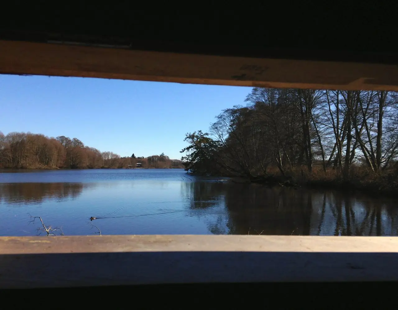
The East Dyke Trail ends at an intersection with the North Dyke Trail. Be sure to explore the two smaller trails heading to the right. They lead to bird blinds with views of Ewen Slough. Take a minute to sit quietly inside these wooden huts while you spy the birds through the narrow viewing slats. When you are finished, go left down the North Dyke Trail to the viewing tower. Climb to the top for great views of the sanctuary ponds, UBC, the North Shore Mountains, and Richmond.

Back on the ground, continue along the North Dyke as it curves around and becomes the West Dyke. This area of the sanctuary is less popular, so you may have it to yourself. Look over the dyke to the ocean marshes. Stay on West Dyke Trail as it curves around and becomes the Southwest Trail, where you’ll find another bird blind.
Arrive at a T-junction and go left, then make your first right onto the Auger Trail. Thus far, you have been walking along the top of wide dykes, but this trail meanders through lower terrain, putting you at pond level. Follow the Main Trail north past the display ponds and Crane Island. This section is best for spotting water birds.
When you emerge near the viewing tower, go left onto Center Dyke and follow it south to a bird blind and a viewing area at the Display Ponds. Continue to the end of Centre Dyke and turn left to visit an elevated platform. It looks out over the Southwest Marsh.

To return to the start, head east on the Cross Dyke Trail past House Pond, then turn right onto East Dyke Trail to reach the entrance gate.

Into
scenic
spots?
Get
ideas.