November’s Vancouver Hike of the Month: Whyte Lake


Tiny Whyte Lake in West Vancouver makes a great easy hike for November. It’s at a low enough elevation to stay snow-free almost all year. And it has great forest cover so it’s a pleasant option for a rainy day hike. In the summer months, Whyte Lake is a popular swimming hole, but in the off-season, you may have it all to yourself. As a bonus, the canopy of douglas fir and cedar trees overhead and the carpet of ferns and moss on the forest floor are extra green this time of year.
Safety First: Just because this hike is close to Vancouver doesn’t mean you aren’t going to the wilderness. North Shore Rescue recommends bringing a backpack with essential safety and first aid gear on every hike. Check the forecast and pack extra clothing for the weather. And leave a trip plan so someone knows where you are going and when you will be back.
Finding the trailhead for Whyte Lake is a little bit tricky. From downtown Vancouver, head over the Lions Gate Bridge and go up the hill to Highway 1. Get on the highway going west, then get off at exit #4 for Woodgreen Drive.
Once you are off the highway, turn left at the stop sign onto Woodgreen Drive. At the next stop sign, go straight. You are now on Westport Road. Follow it as it curves around and eventually goes underneath the highway. Right after it goes under the highway, turn right into a gravel parking lot.
The trail begins at the far side of the parking lot behind a metal gate. Walk past the gate and along the gravel access road as it heads under the highway. On the other side of the highway stay with the gravel road as it goes steeply uphill.
This section is pretty steep, but it only lasts about 200m. At the end of the short, steep portion, the gravel road goes left towards a large water storage tower. Look for a trail signpost and a trail heading up to the right.
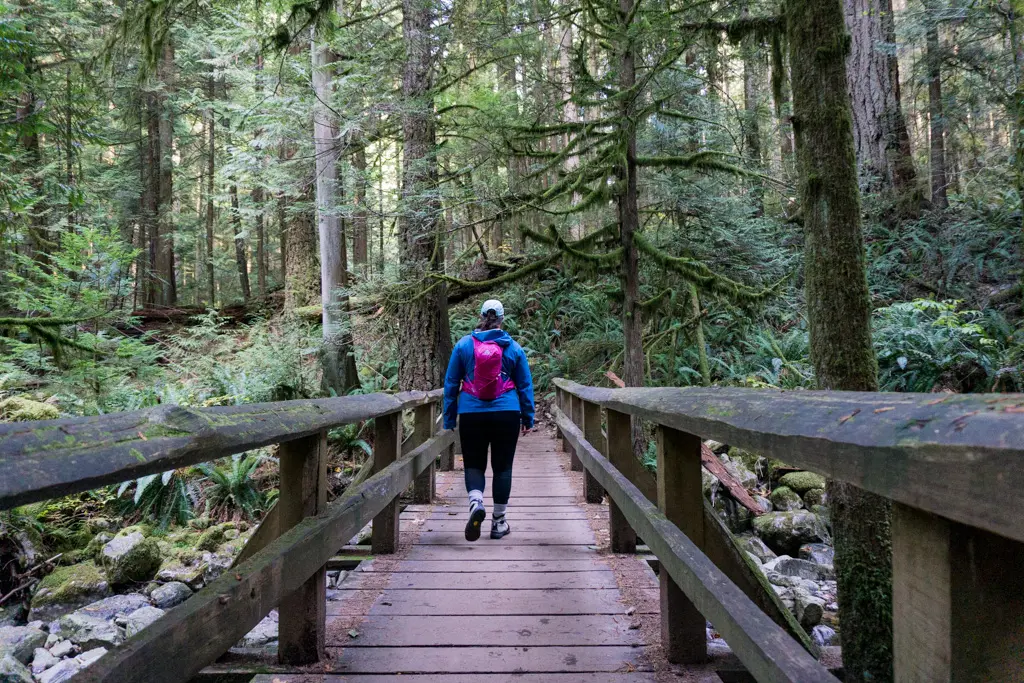
Follow the trail up into the forest, passing a couple of interpretive signs along the way. The trail swings closer to the edge of Nelson Creek canyon, giving you a great view of the fern-lined gully below. About 1km from the trailhead ignore a trail branching off to the right and continue on the main trail as it crosses a pretty bridge over Nelson Creek.

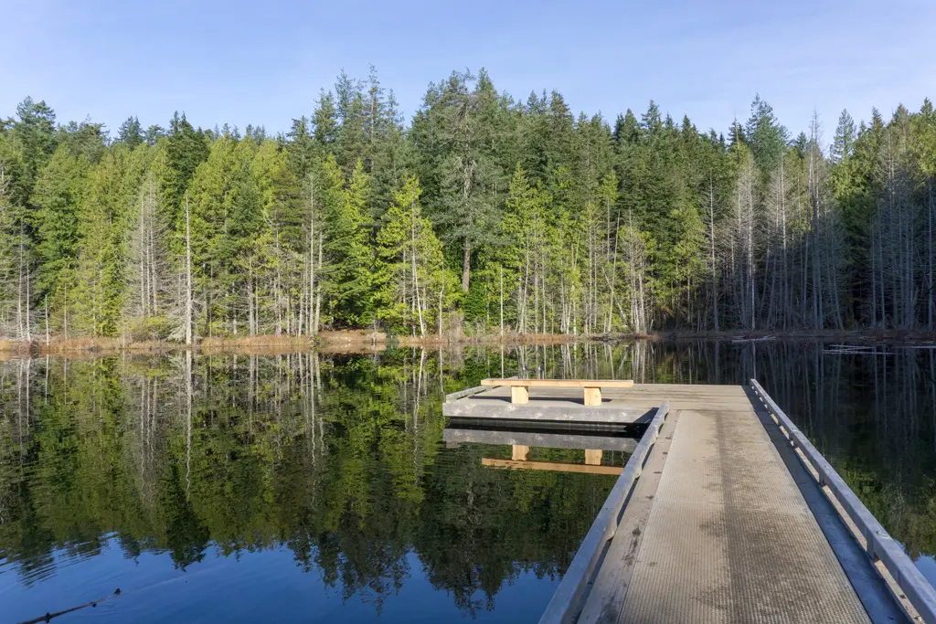
On the other side of the bridge, the trail flattens out as it follows Whyte Creek towards the lake. The lake is about 1km of easy walking from the bridge. Look for a spur trail to your right to reach the dock. There’s a bench here that makes a great place to take a break. On a calm day, you can also get great reflections in the still waters of the lake.
If nature calls, there’s a beautiful cedar outhouse on a spur trail partway around the lake. Retrace your steps back to the car when you’re ready to head home.
Trail Stats: 5km return, 160m elevation gain, 2 hours

Into
scenic
spots?
Get
ideas.