January’s Vancouver Hike of the Month: Minnekhada Loop

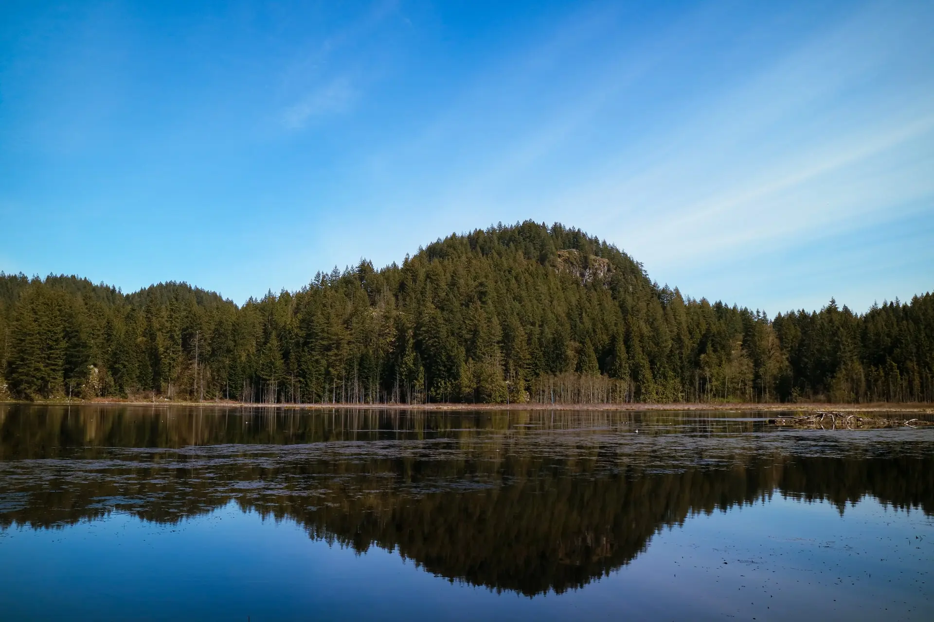
This easy loop in Coquitlam’s Minnekhada Regional Park is a great hike for January. It’s at a low elevation, so you’ll avoid snow, but it still climbs up to a great viewpoint. You’ll also walk along the edge of a marsh, which is a great place to watch for wildlife, especially birds.
Until February 5, 2021, in line with the public health order issued on November 20, non-essential travel into and out of BC is not recommended. BC residents let’s do our part by continuing to stay local and support local, with your immediate household or bubble, in accordance with the latest guidelines.
Safety First: AdventureSmart recommends bringing a backpack with essential safety and first aid gear on every hike. Check the forecast and pack extra clothing for the weather. Leave a trip plan so someone knows where you are going and when you will be back. Hiking is a little different during the pandemic. Read our tips for getting outdoors during COVID-19.
Heads Up: While this trail is too low to see snow for most of the winter, it can get icy and slippery when the temperature dips. Avoid this trail in freezing weather or bring traction aids like microspikes and hiking poles.
Trail Stats: easy, 6 km loop, 180 m elevation gain, 1.5-2 hours, dogs allowed on leash
Getting There: From Lougheed Highway in Coquitlam, go north on Coast Meridian Road. Turn right (east) on Victoria Drive and continue for about 1.5km, then turn left to stay on Victoria Drive, which becomes Quarry Road. Just before the road turns to gravel, turn right into the signed parking lot.

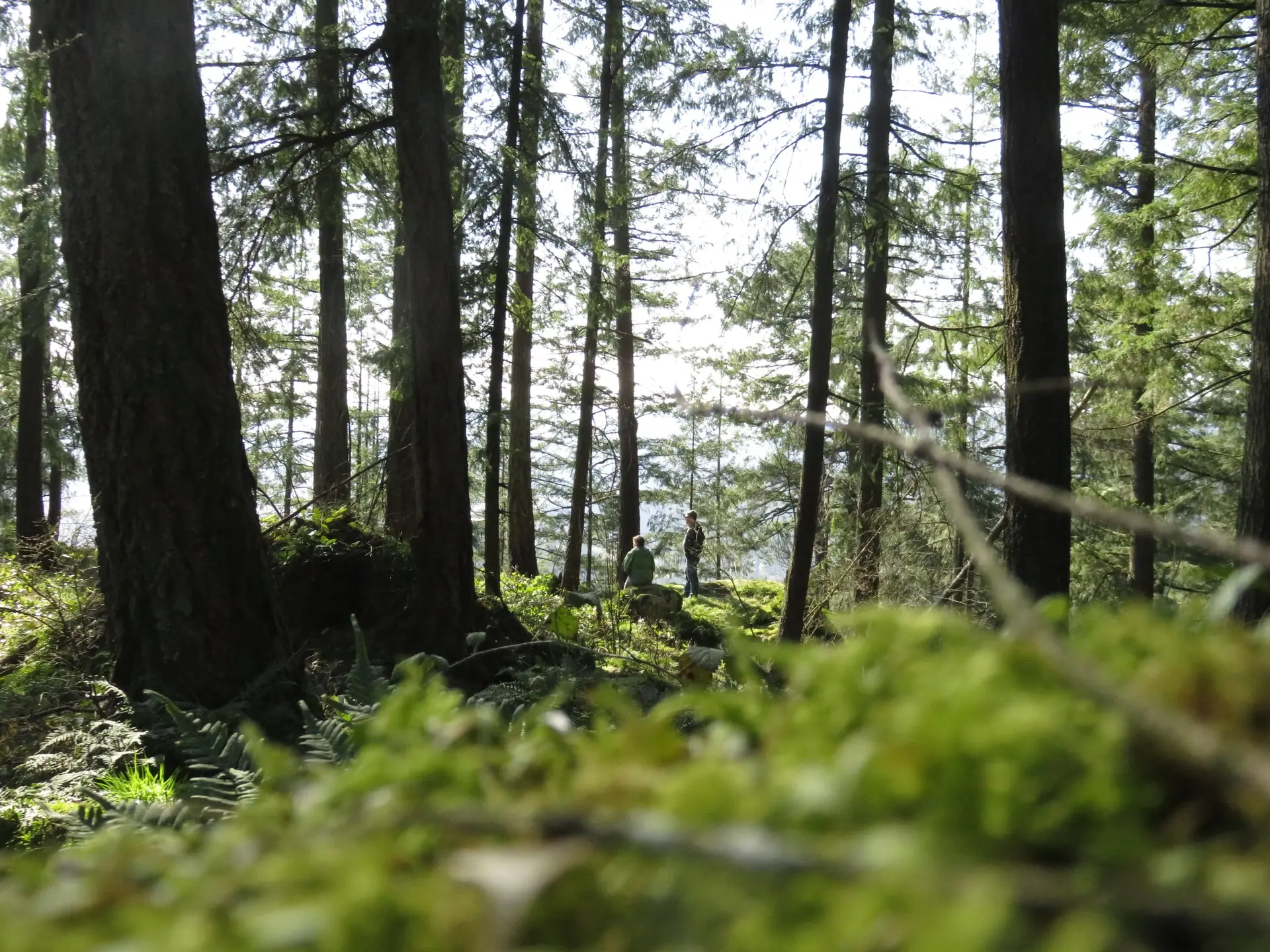
The Trail: This loop hike in Minnekhada Regional Park circles around a marsh, heads through beautiful rainforest, and visits a great viewpoint. There are lots of intersections, but they are all well-marked so it’s easy to stay on track. Bring a copy of the park map just in case.
Start your hike behind the large map board in the parking lot. In the first few minutes, you’ll reach junctions with the Lodge Trail and the Meadow Trail. Go left at both of these intersections to stay on the Log Walk Trail.
Half a kilometre from the start, go left again onto the Quarry Trail. This path takes you close to the edge of the marsh, but you won’t get a good view of it here as trees and bushes block the way.
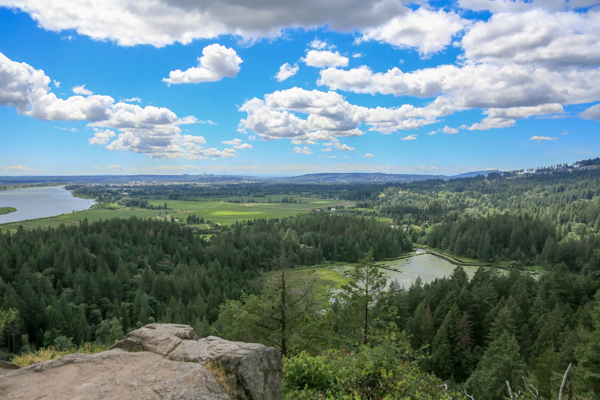
About 1 kilometre later the path veers away from the marsh into the forest. The trail becomes more rocky and rooty as you begin to climb gradually uphill. Reach a junction another kilometre later and follow signs uphill to the left towards High Knoll Viewpoint. This is the steepest climb of the hike, but the view at the top is worth it. From the rocky bluff, you can look down to the marsh, the farms below along the Pitt River and across the Fraser Valley to Mount Baker.

When you are finished enjoying the view, head back downhill, retracing your steps to the last junction. Turn left to continue on the Quarry Trail for another 500 metres to another intersection. If you’re tired, you can turn right and take the Mid-Marsh Trail directly back to your car. Otherwise, turn left to continue your loop.
Just a few steps past the last junction, reach another. A short trail to the right here leads to the Low Knoll Viewpoint where you can look down into the marsh. Continue along the trail until yet another intersection. If you have extra energy, turn left to add on an extra kilometre for the walk to Addington Lookout with views of the Pitt River.
To continue your loop, turn right onto the Fern Trail, which travels through gorgeous forest for nearly a kilometre before arriving back on the edge of the marsh. Follow the Lodge Trail along raised walkways at the water’s edge, then back through the forest to your car to complete the loop.

Into
scenic
spots?
Get
ideas.