7 Places to Walk a Section of The Great Trail Around Vancouver
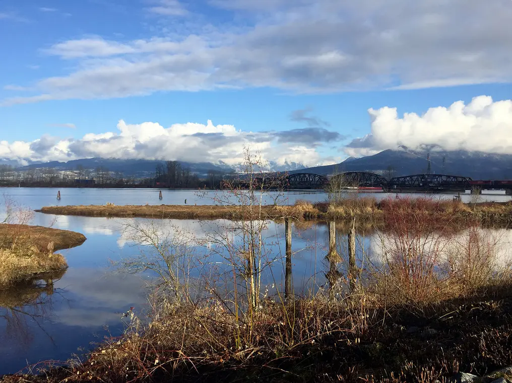
Fully connected in 2017, The Great Trail stretches across Canada from Victoria to Newfoundland, and north to the Arctic Ocean. You may not have time to walk the enitre length, but the route passes right through Vancouver, so you can walk a section of The Great Trail close to home.
Until further notice, in line with the public health order, non-essential travel into, within, and out of BC is not recommended. BC residents, let’s do our part by continuing to stay small and support local with your immediate household, in accordance with the latest guidelines.
Safety First: AdventureSmart recommends bringing a backpack with essential safety and first aid gear on every hike. Check the forecast and pack extra clothing for the weather. Leave a trip plan so someone knows where you are going and when you will be back. Hiking is a little different during the pandemic. Read our tips for getting outdoors during COVID-19.
What is The Great Trail?
Formerly known as the Trans Canada Trail, The Great Trail is a 27,000 kilometre-long route through 13 provinces and territories. It is the longest recreational multi-use trail network in the world. In some places, The Great Trail follows remote trails, but in others, it uses urban pathways. Each section is maintained by the local community.
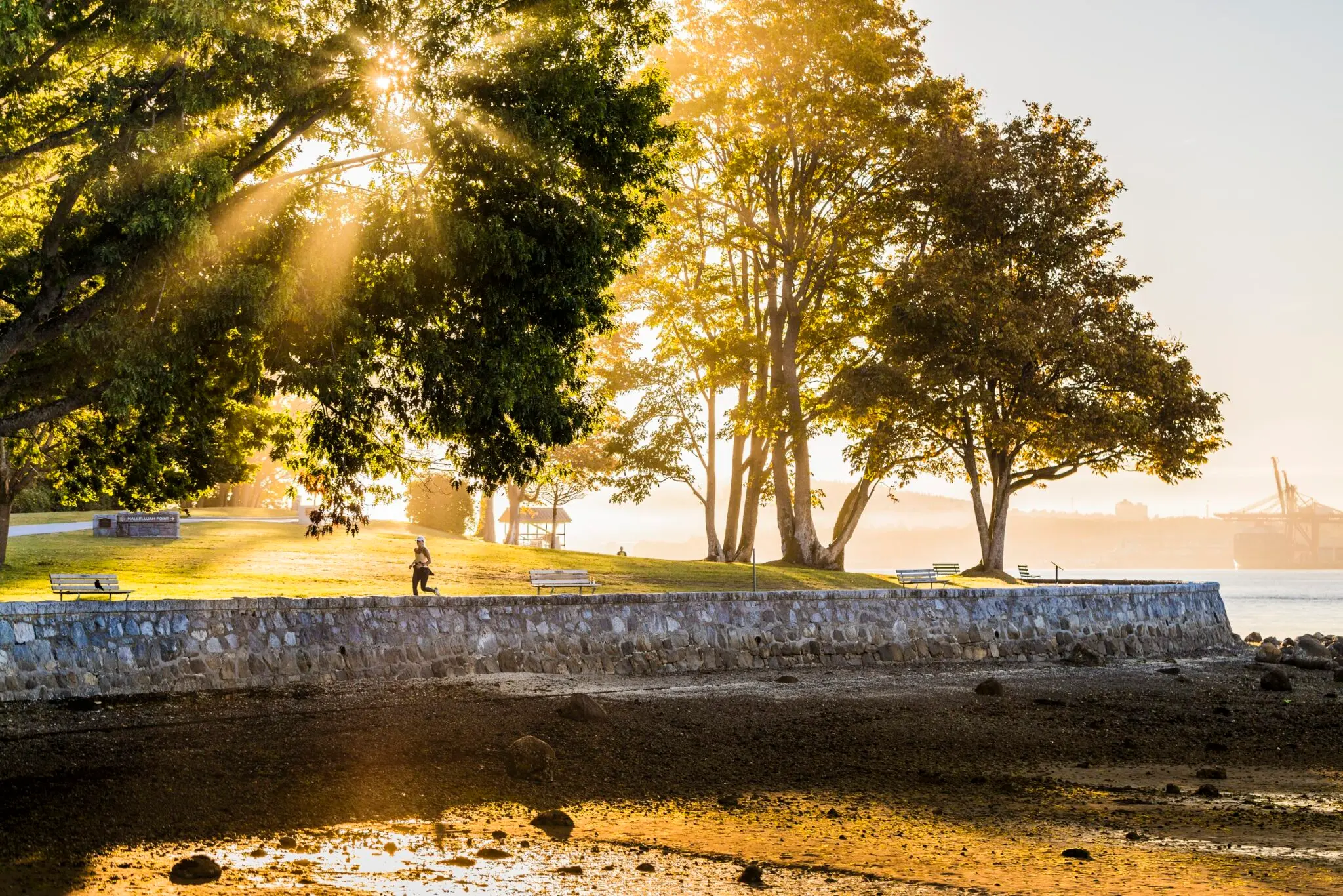
Stanley Park Seawall, Vancouver
Many Vancouverites don’t realize that the iconic seawall circling Stanley Park is part of The Great Trail. You can tackle the ten-kilometre loop on foot or by bike. More info.
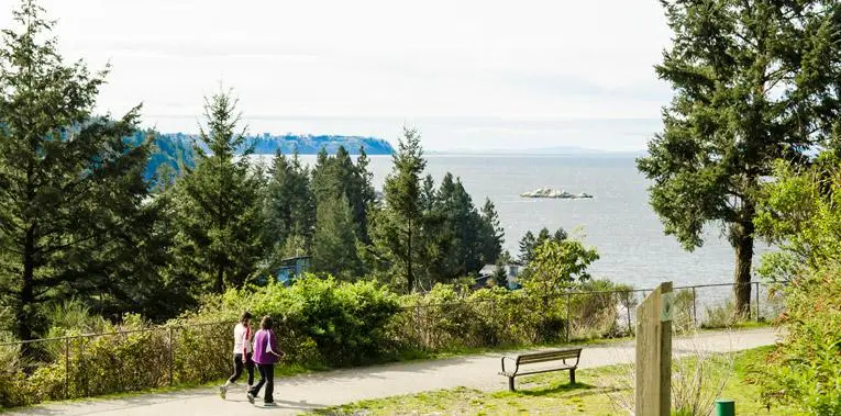
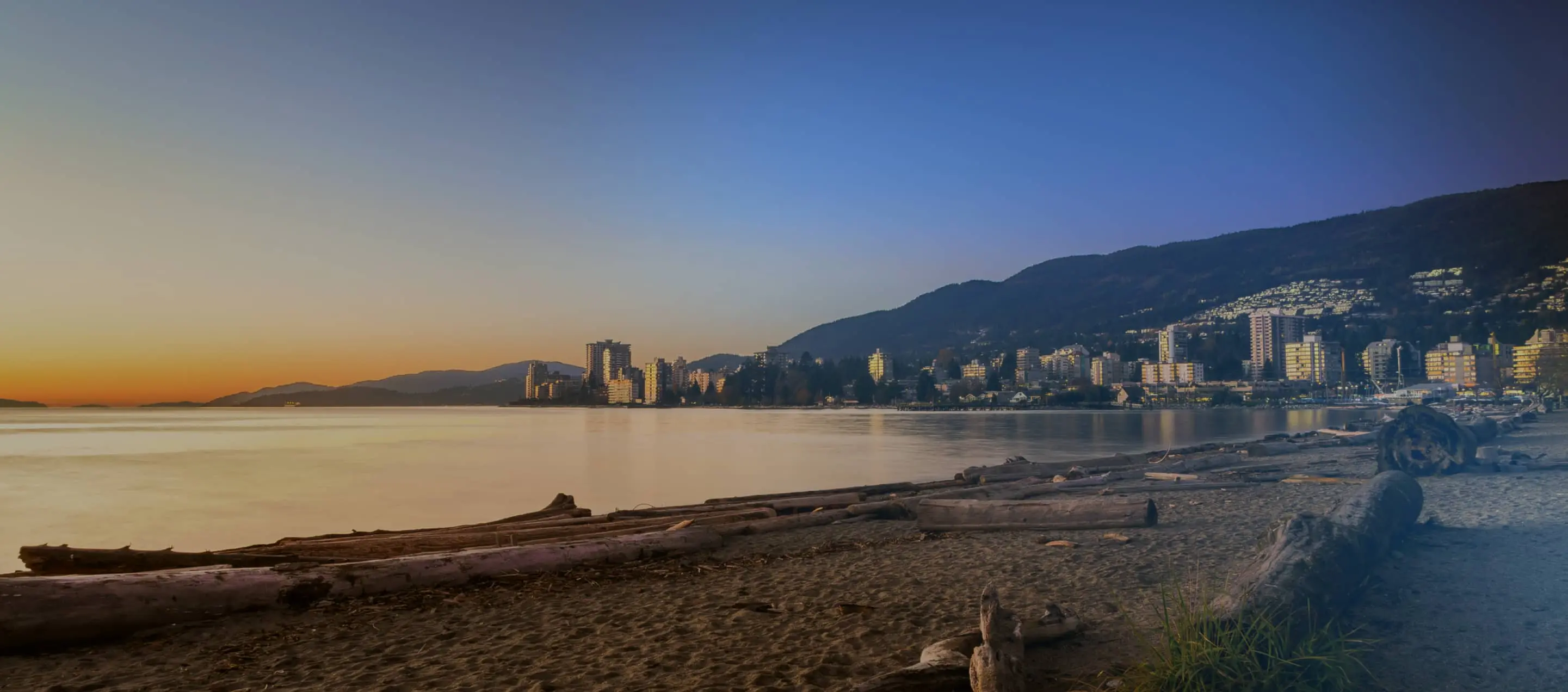
Seaview Walk, West Vancouver
The flat and easy Seaview Walk trail in West Vancouver is wheelchair accessible and suitable for all abilities. As the name implies, it has great ocean views. Find the entrance near the Gleneagles Golf Course off Orchill Road. More info.
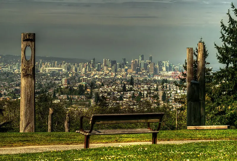
Burnaby Mountain, Burnaby
Follow The Great Trail as it climbs up and over Burnaby Mountain. Find the western trailhead off Burnaby Mountain Parkway near Hastings Street. If you want to skip the steep climb, follow the Pandora Trail from the top of Centennial Way to intersect The Great Trail. More info.
Traboulay PoCo Trail, Port Coquitlam
This 25-kilometre-long community trail makes a large loop around Port Coquitlam. Named for former mayor Len Traboulay, the route takes you through forests and meadows and alongside creeks and marshes. Some of the loop is paved, but most is crushed gravel. More info.
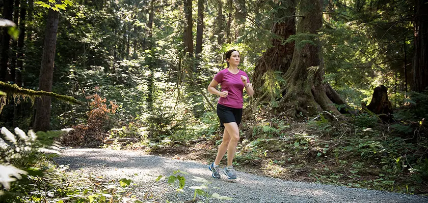
Pitt River Regional Greenway, Pitt Meadows
Follow dykes beside the Pitt and Fraser Rivers on this section of The Great Trail. The wide gravel trail is a great place for bird watching or to spot seals in the river. More info.
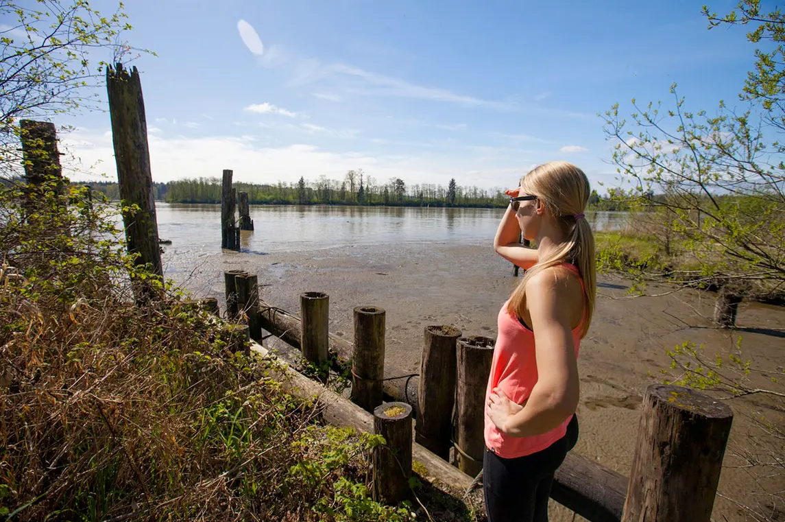
Fort to Fort Trail, Langley
This scenic route along the banks of the Fraser River connects Fort Langley National Historic Site with the site of the original Fort Langley near Derby Reach Regional Park. More info.
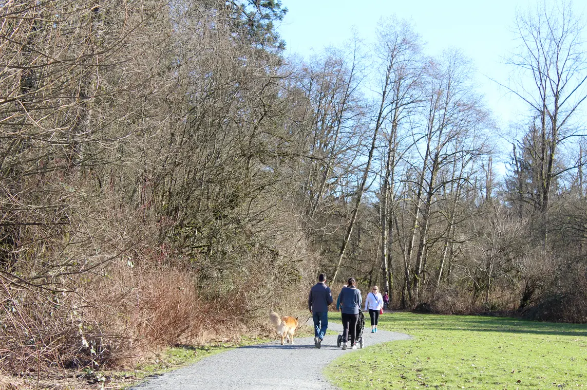
Vedder River Rotary Trail, Chilliwack
Follow the banks of the Vedder River in Chilliwack on this flat and easy walk. There are trails on both sides of the river, but you’ll find the portion designated as part of The Great Trail on the north side. More info.
Into
scenic
spots?
Get
ideas.