Dipping at Deas
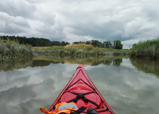
Ask Vancouverites where Deas Island is located and you may get a puzzled look. Yet, thousands of commuters navigate the George Massey Tunnel on a daily basis, emerge on to Deas Island and cross the Deas Slough. Wetlands, marshes, protected harbours and tidal flats are there for the taking. What better way to view this secluded natural hideaway than from the cockpit of a kayak?
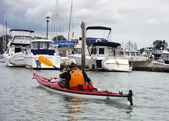
Launching from Deas Island Regional Park is a treat! Watch for the Delta Deas Rowing Club boathouse. Ample free parking, washrooms and easy access to the slough make it a perfect launch site. The Slough’s calm waters are ideal for beginners and a popular training ground for rowers. We navigated our way along the slough, under Highway 99 and past Captain’s Cove Marina. Peering up at the magnificent sailboats and yachts it was difficult to not feel tiny and insignificant. Conversely, it was comforting to think that on some level, we are all mariners and share a profound love of the sea.
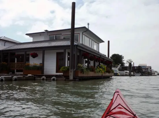
Our urban adventure led us from the protected waters of the slough to Ladner, where we paddled past several floating homes. Talk about nature at your doorstep. What a unique lifestyle! Imagine your living room rising and falling with the tides, panoramic views of the salt marshes and no traffic snarl-ups.
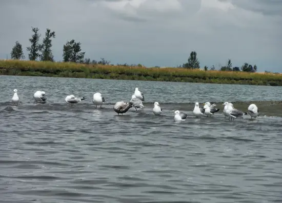
We returned via the secluded channels of the marsh, part of the South Arm Marshes Wildlife Management Area. Definitely a route best travelled at high tide. These channels are like mazes. They twist and turn and appear to go on forever. It can become quite disorienting in the marsh as the banks of the channels are high and paddlers can quickly lose sight of significant landmarks. Paddling the area opens up incredible nature viewing opportunities and it is easy to forget you are in the middle of Greater Vancouver. From otters, seals, waterfowl, shorebirds and eagles, a wide range of species call the area home.
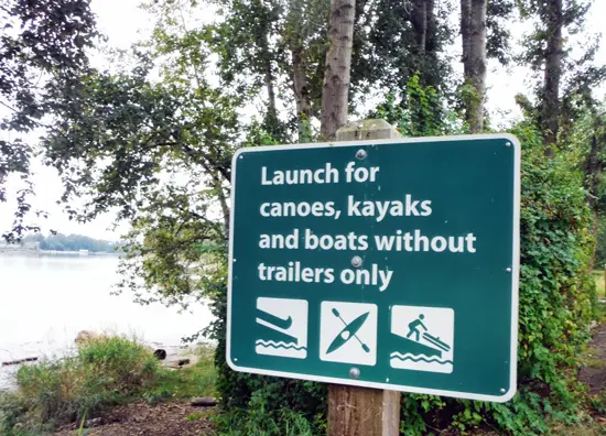
Getting There:
The boat launch is located in Deas Island Regional Park. From Highway 99, at the south end of the George Massey Tunnel, take River Road North and watch for the park entrance, located 2.5km east.
Check relevant tide tables and the marine forecast before embarking on your adventure. The South Arm of the Fraser has a strong current and is busy with large commercial traffic – not recommended for a leisurely paddle.
Deas Island Recreational Schedule:
Watersport enthusiasts galore flock to Deas Island. From rowers to wakeboarders the area is popular and can be extremely busy. In order to ensure a safe and enjoyable experience for all a Recreational Use Schedule has been developed. Check the schedule before you go!
Into
scenic
spots?
Get
ideas.